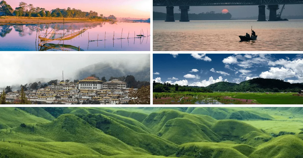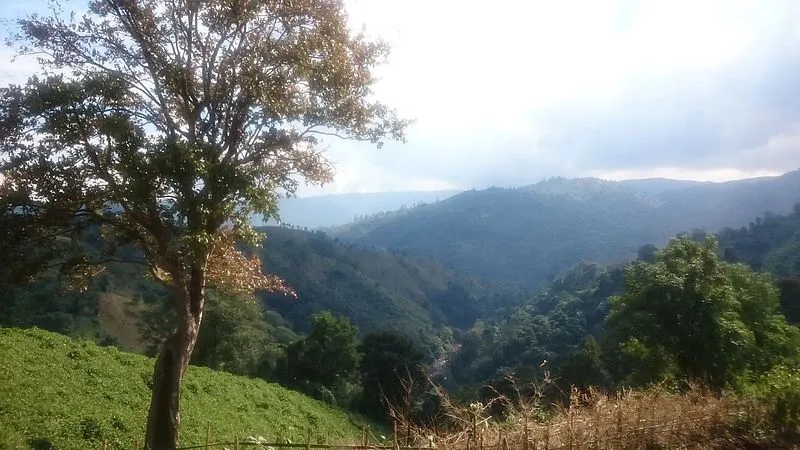
A beautiful and majestic hill stands on the eastern side of Tura at a height of 872 m above sea level overlooking the town of Tura. Local legend has it that the peak provides a sacred shelter or abode to the ‘Gods’ and it is also claimed that Tura was traditionally known as Dura, named after local God, Durama resides in the Tura hills. Interestingly, the word 'Tura' is a corrupted version (by the British perople) of the same deity's name.
The Tura range has been declared a reserve forest with an observatory, a Cinchona plantation and a tourist bungalow located at its vicinity. A magnificent view of the lower Brahmaputra valley as well as the golden yellow plains of Bangladesh can be seen all year round from the peak. A foot-track or path developed during the British Raj is still in existence and can be used by tourists and adventurers alike to reach Tura peak with ease and comfort.
Way to Tura Peak
The hike to Tura Peak is about 5 kms / 2 hrs. One should hire a guide to the peak as all is a forest area and chances of getting lost in woods are high here. To have better views try to start early in morning such that Tura town and Bangladesh plains can easily be visible. One can stay in tourist bungalow or can do camping too. Most of the hikers visit Tura Peak in daytime and return Tura town for night stay. However, some stay back at the peak to see sunset. Sunset at Tura Peak is said to the best experience here.
Tura Peak comes under Tura Range of West Garo Hills of Meghalaya. The site is maintained by Nokrek National Park Organisation.
Tip: Please carry sufficient water and food as there is nothing on the way for refreshment and no water body is available.

